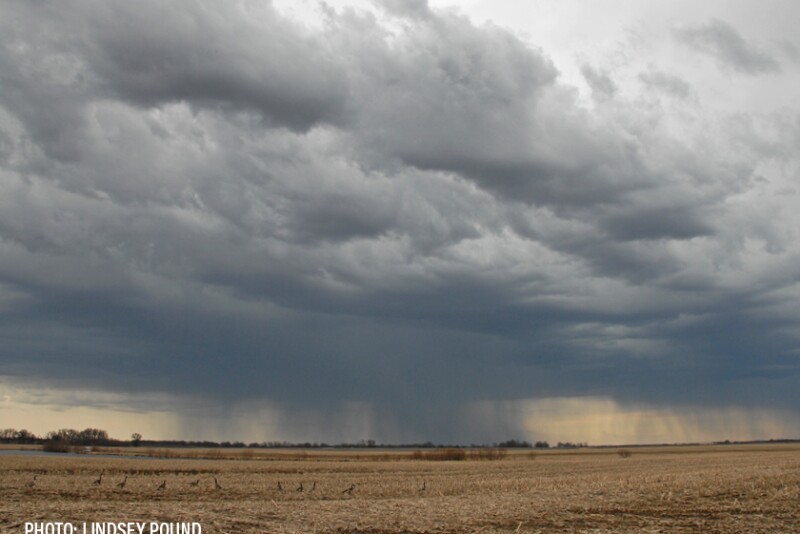
After a growing season saddled by dryness and drought, the 30-day forecast from the National Weather Service signals increased chances of above-normal rainfall across the southern half of the Corn Belt, Central and Southern Plains and Mid-South during October. With corn and soybean crops maturing much quicker than normal, the rains would benefit only double-crop soybeans and could hinder harvest activity. The northern Corn Belt is expected to see “equal chances” for normal, above- and below-normal precip during October, signaling harvest activity should continue at a rapid pace in these areas, especially with above-normal temps also forecast.
The 30-day forecast would be beneficial for the U.S. winter wheat crop, with virtually all HRW and SRW areas expected to see increased chances of above-normal precip, with the highest likelihood of active October rains centered over major HRW production areas.
The Seasonal Drought Outlook calls for drought improvement or removal across much of the central U.S. through year-end.

